The Trails
Non-motorized, multi-purpose trails for running, hiking, cycling, skating, and more — across the Top of Michigan.
Overview
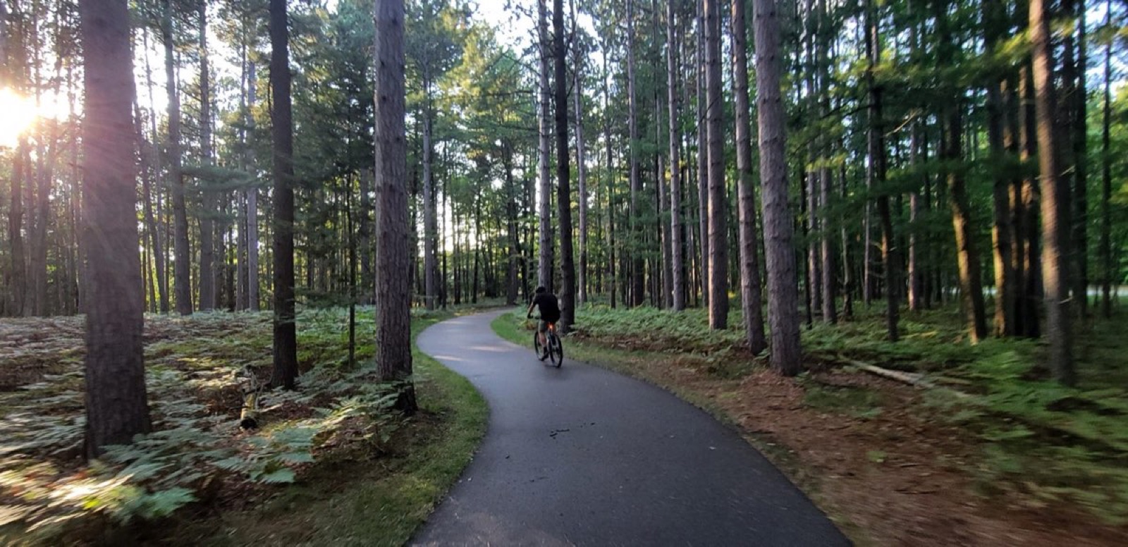
The Top of Michigan Trails Council oversees about 300 miles of existing or soon-to-be-constructed trails — roughly 180 of those miles running along old railroad corridors. Our “Trunk Line” trails are non-motorized (except snowmobiles) and built for running, hiking, bicycling, in-line skating, and equestrian use.
Except where noted, the trails are dedicated — they don’t share the right of way with cars or motorcycles. Smooth-surface stretches like the Little Traverse Wheelway, Huron Sunrise Trail, and the Alpena Bi-Path even accommodate baby strollers. In general, our trails are well suited to hybrid bicycles.
By the Numbers
The Whole Network
Pan and zoom the full Top of Michigan trail network — from Lake Michigan to Lake Huron, Charlevoix to Alpena.
The Trails
Pick a trail for its route map, trailheads, and one-tap directions in Apple or Google Maps.
Charlevoix · Petoskey · Harbor Springs
View trail →Gaylord · Indian River · Mackinaw City
View trail →Rogers City
View trail →Boyne Falls · Boyne City
Coming soon →Boyne City · Charlevoix
Coming soon →Alanson · Burt Lake · Indian River
Coming soon →Petoskey · Alanson · Mackinaw City
View trail →Cheboygan · Onaway · Alpena
View trail →Share the Trail
Using trails in Northern Michigan is a great way to recreate. A few simple habits keep it fun for everyone.
Good to Know
No — the trails are free and open to the public. User groups may occasionally charge a fee or accept a donation for event participants. TOMTC is always glad to accept a donation to support its advocacy efforts, and welcomes new members.
Generally an assigned unit of government is responsible, especially for repairs to the roadway or major structures. For trash control, TOMTC encourages people living and working along the trails to help keep them clean, and supports civic-minded groups who assist.
We keep the public informed through press releases, presentations, and support for local trail committees; respond to hundreds of information requests; sponsor trail rides and fundraisers; write grants; and network with like-minded organizations.
No, but we partner with all units of government to achieve our goals. We’ve assisted the MDNR in acquiring new corridors for trails, and both the MDNR and MDOT in constructing them.
Operational and endowment funds come from memberships and donations; much of the rest comes from public or private grants designated for specific uses. Designated funds serve their purpose; other income supports advocacy, salaries, building and office expenses, and printing.
Trails are owned by various entities — most by the Michigan DNR, others by local governments like the City of Petoskey or Cheboygan County, and some by private parties who’ve granted permission. TOMTC keeps working to obtain easements that fill gaps and to encourage public ownership of rights-of-way.